How GIS is transforming urban planning, logistics, and infrastructure with spatial intelligence, real-time data, and enterprise integration.
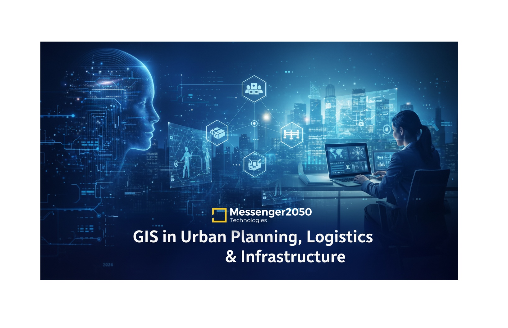
GIS in Urban Planning, Logistics & Infrastructure
How Spatial Intelligence Is Powering Smarter Cities and Efficient Networks
Messenger2050 Technologies : GIS Solutions & Enterprise Technology
As cities expand, supply chains grow more complex, and infrastructure demands intensify, decision-makers are increasingly relying on Geographic Information Systems (GIS) to plan, analyze, and optimize real-world environments.
In 2026, GIS is no longer just about maps. It has evolved into a strategic intelligence layer that helps governments, urban planners, logistics operators, and infrastructure developers make data-driven decisions with precision and speed.
This article explores how GIS is transforming urban planning, logistics, and infrastructure development, and why it has become a critical technology for modern digital ecosystems.
What Is GIS and Why It Matters Today
GIS is a system designed to capture, store, analyze, and visualize geographic and spatial data. By combining location intelligence with business and operational data, GIS enables organizations to understand patterns, relationships, and trends that are invisible in traditional datasets.
Modern GIS platforms integrate with cloud systems, enterprise software, IoT devices, and analytics engines turning location data into actionable intelligence.
GIS in Urban Planning: Building Smarter Cities
Urban planning is one of the most impactful applications of GIS. City authorities and planners use GIS to:
- Analyze population density and urban growth
- Plan zoning, land use, and housing development
- Optimize public transport routes and traffic flow
- Identify environmental and climate risks
- Improve access to utilities and public services
GIS enables planners to simulate future scenarios, assess policy impacts, and design cities that are sustainable, resilient, and citizen-centric.
With GIS-based decision support systems, urban planning becomes proactive rather than reactive.
GIS in Logistics: Optimizing Movement and Supply Chains
Logistics and transportation rely heavily on location accuracy and route efficiency. GIS plays a central role in modern logistics operations by enabling:
- Real-time route optimization
- Fleet tracking and monitoring
- Demand forecasting based on geographic data
- Warehouse location planning
- Reduced fuel consumption and delivery times
By integrating GIS with enterprise logistics software, organizations can significantly reduce operational costs while improving service reliability.
At Messenger2050 Technologies, GIS solutions are designed to integrate seamlessly with logistics platforms, ERP systems, and analytics dashboards creating a unified operational view.
GIS in Infrastructure Development & Management
Infrastructure projects roads, utilities, pipelines, telecom networks, and smart grids depend on accurate spatial planning. GIS supports infrastructure development by:
- Mapping existing assets and networks
- Identifying optimal locations for new infrastructure
- Monitoring asset health and maintenance needs
- Supporting disaster risk assessment and mitigation
- Managing large-scale infrastructure portfolios
GIS also enables predictive maintenance, helping organizations anticipate failures before they occur and reduce downtime.
Integration of GIS with Enterprise Systems
The true power of GIS emerges when it is integrated with other digital platforms:
- ERP systems for asset and resource management
- IoT sensors for real-time data collection
- AI & analytics engines for predictive insights
- Web and mobile applications for field operations
Messenger2050 Technologies focuses on building web-based and cloud-ready GIS solutions that integrate with enterprise software, enabling organizations to access spatial intelligence across departments.
Benefits of GIS for Businesses and Governments
Organizations adopting GIS solutions gain measurable advantages:
- Better planning and forecasting
- Reduced operational and infrastructure costs
- Improved public service delivery
- Enhanced decision-making accuracy
- Stronger risk management and resilience
GIS transforms static data into dynamic insights, supporting long-term strategic planning.
Challenges in GIS Implementation
Despite its value, GIS adoption comes with challenges:
- Data accuracy and standardization
- Integration with legacy systems
- Skilled workforce requirements
- Data security and access control
Addressing these challenges requires a structured implementation strategy, scalable architecture, and experienced technology partners.
The Future of GIS: From Maps to Intelligence Platforms
Looking ahead, GIS is rapidly evolving into an intelligent spatial platform:
- AI-powered spatial analytics
- Real-time data from connected devices
- 3D and digital twin city models
- Cloud-native GIS applications
- Enhanced visualization for decision support
GIS will play a foundational role in smart cities, autonomous logistics, and intelligent infrastructure ecosystems.
Conclusion
GIS has become a critical enabler for urban planning, logistics optimization, and infrastructure development. By transforming location data into strategic insight, GIS empowers organizations to build smarter cities, more efficient supply chains, and resilient infrastructure.
As digital transformation accelerates, GIS solutions will continue to evolve as an essential layer within enterprise and public-sector technology stacks.